 Tweet
Tweet
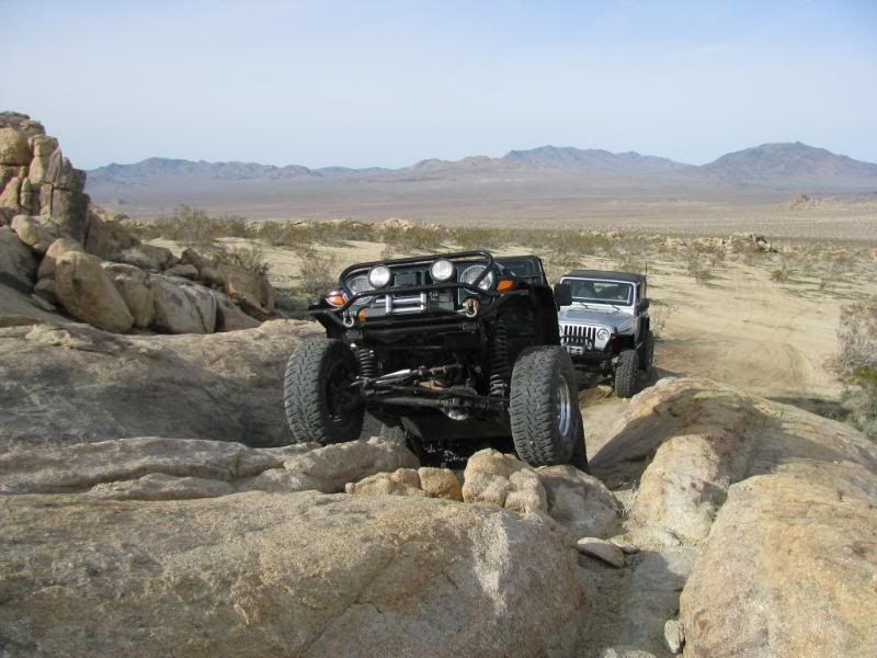
BullFrog Trail is a difficult trail in the JV OHV area.
The obstacles are technical and are easier with at least one locker, but open diff vehicles have made it through.
Great Obstacles:
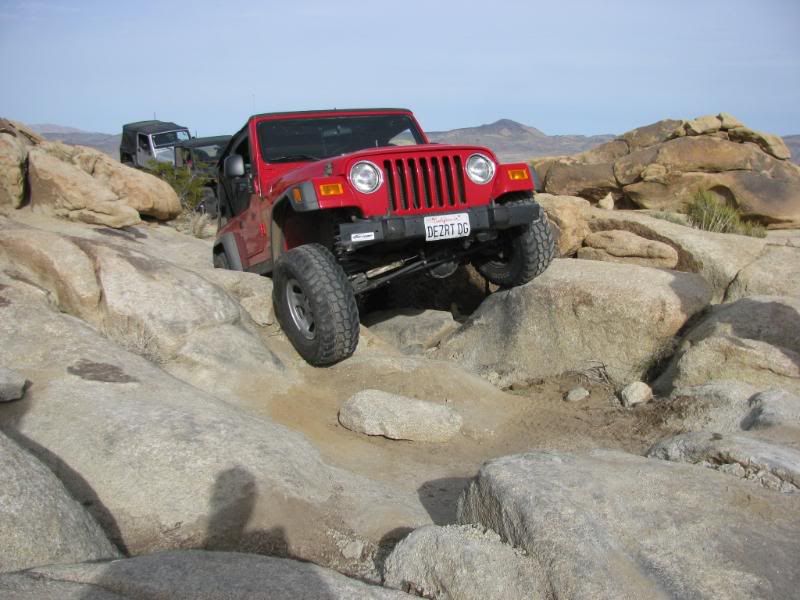
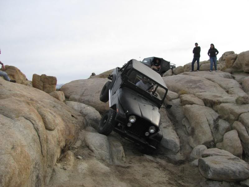
With the infamous Jeepeater being one of the visually noteworthy ones:
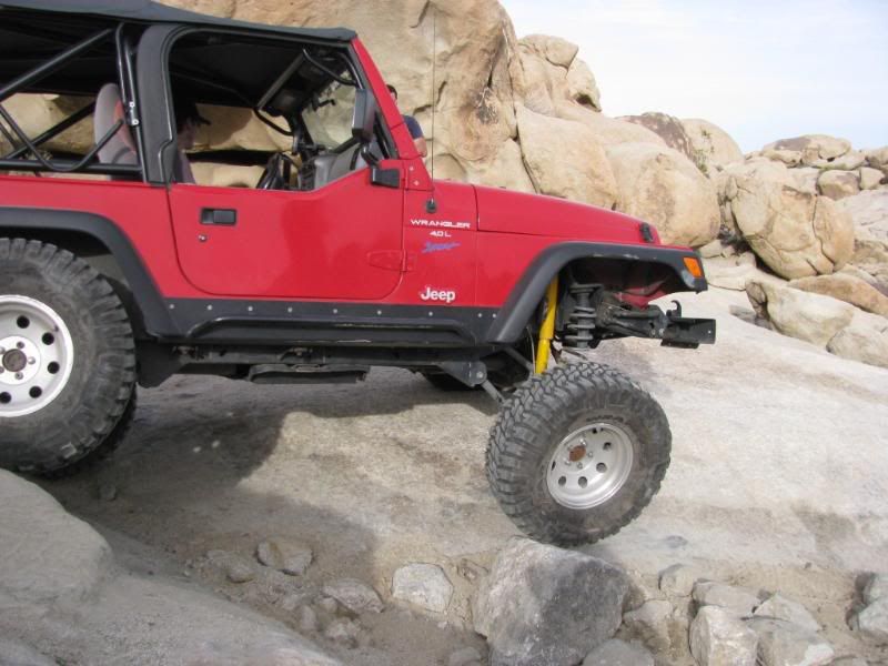
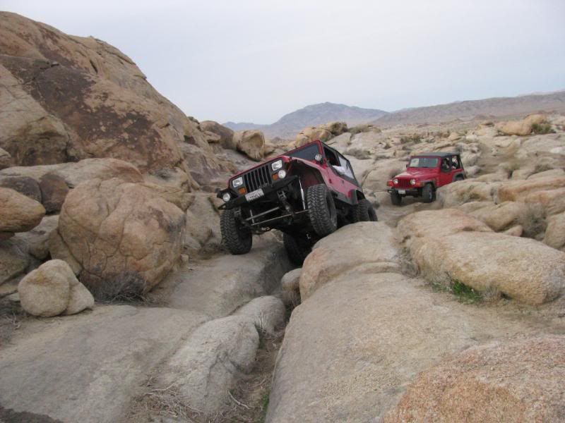
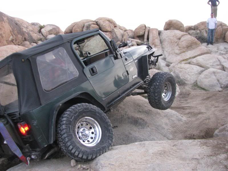
There are plenty of challenges along the way:
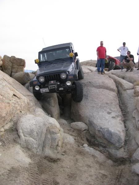
A great trail!
The obstacles are technical and are easier with at least one locker, but open diff vehicles have made it through.
Great Obstacles:
With the infamous Jeepeater being one of the visually noteworthy ones:
There are plenty of challenges along the way:
A great trail!

Comment