 Tweet
Tweet
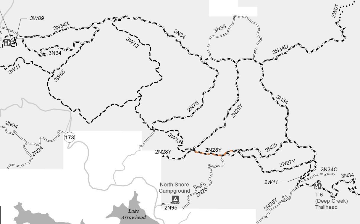
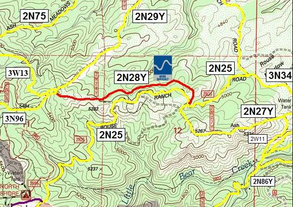
2N28Y
Length: .6 miles
Trail Rating: Blue Square More Difficult - Street legal vehicles and green sticker vehicles allowed
There is a Black Diamond Most Difficult bypass on this trail
Elevation: 5150� to 5325�
Trail adopted by: Inland Empire 4 Wheelrs
West entrance on 2N96/2N29Y/3W13 at N34� 16.630 W117� 09.639
East entrance on 2N25 at N34� 16.601 W117� 09.088
Lat/Lon format is hddd� mm.mmm WGS84 datum
It is always a good idea to call the ranger station before heading in to the forest and get a current conditions report. Arrowhead Ranger Station (909) 382-2782
SBNF Motor Vehicle Use Map(MVUM)
SBNF Google Earth file