Announcement

Collapse
No announcement yet.

The Ole Swimmin Hole 7-7-12

Collapse

Forum Thread First Post

Collapse
X
 
  • Filter
  • Time
  • Show
Clear All
new posts

  • Organized Event: The Ole Swimmin Hole 7-7-12


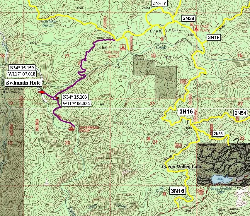
    Meet at 2W07 Fisherman's Camp Trailhead parking lot N34° 15.690 W117° 06.136 at 10am

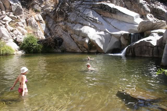
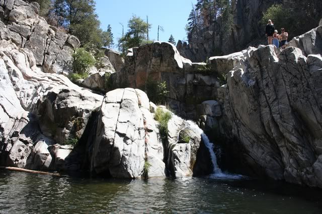
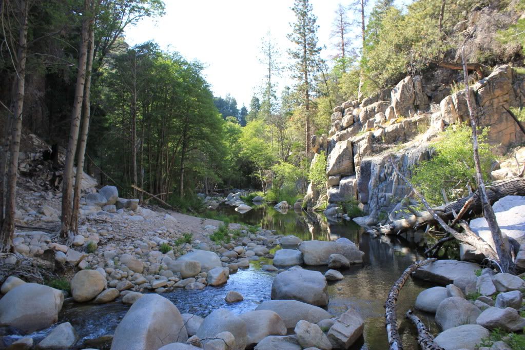
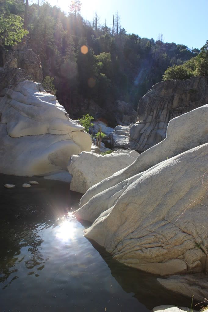
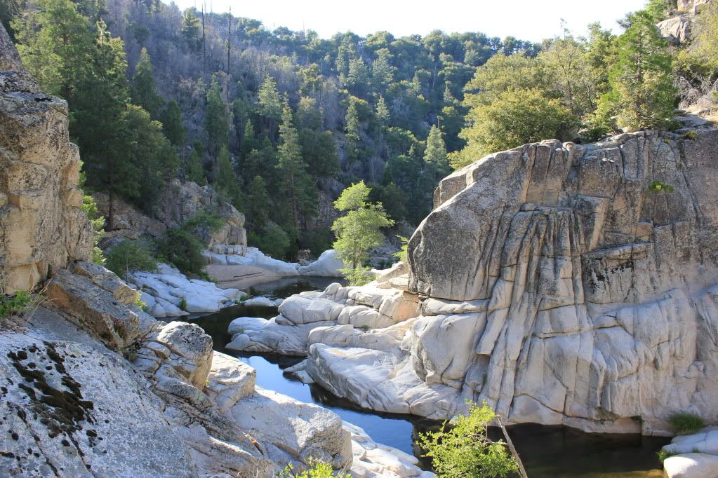
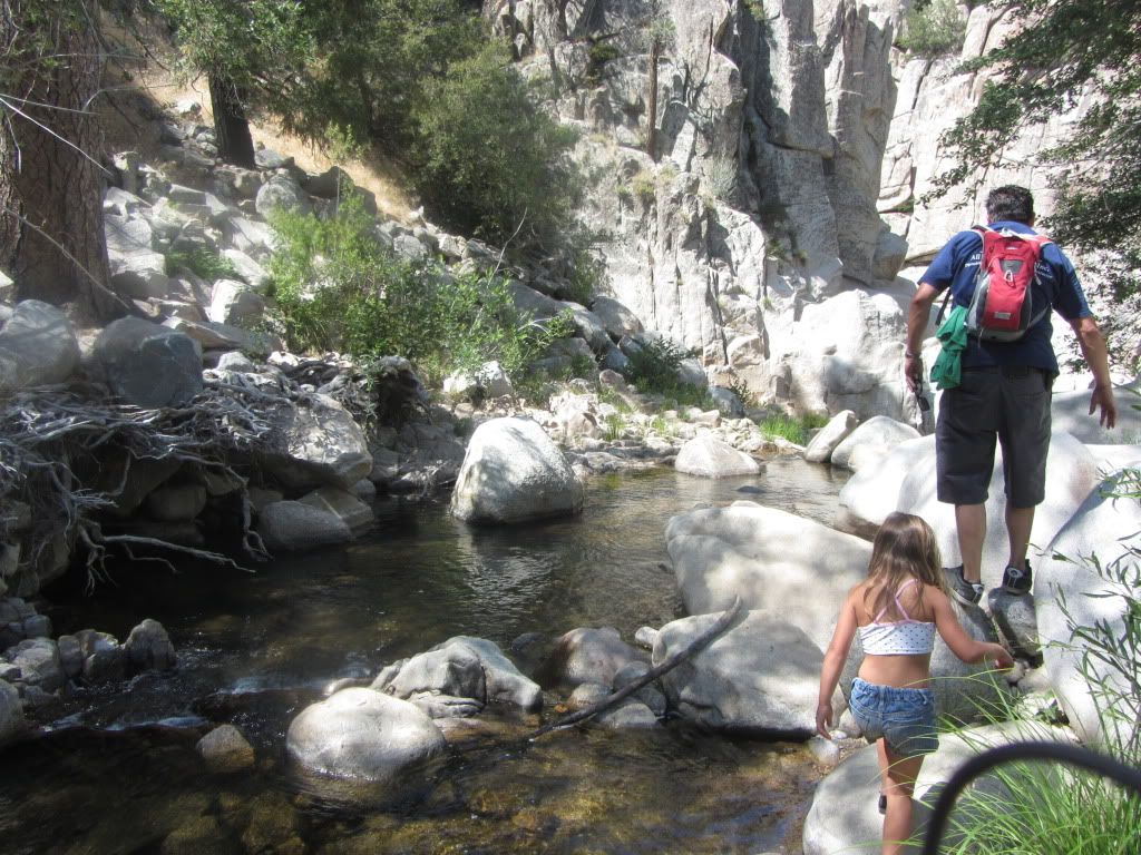
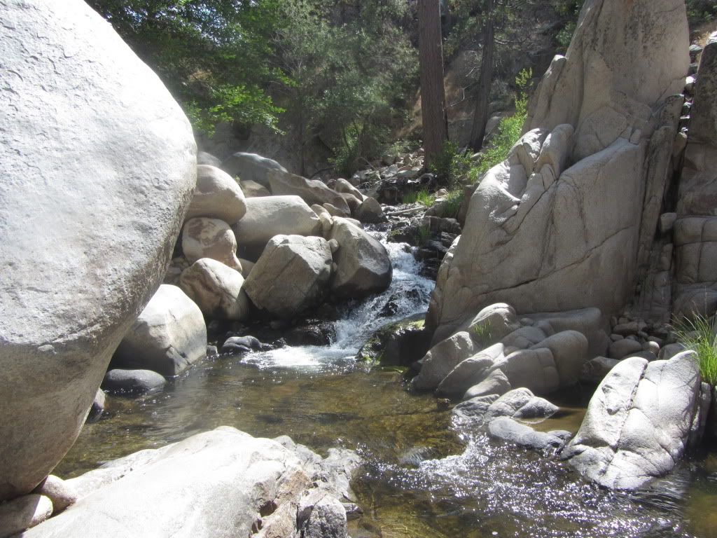
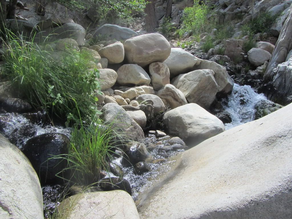
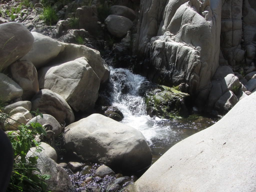
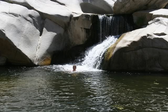
    The hike is approx 1-1/2 miles losing 800' elevation to get to the Ole Swimmin Hole.

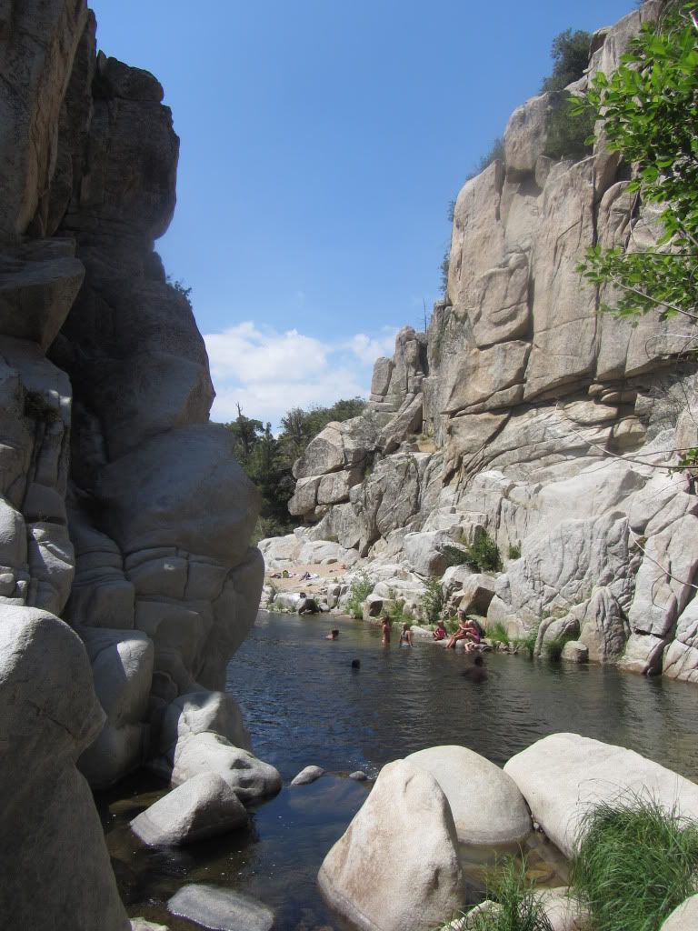
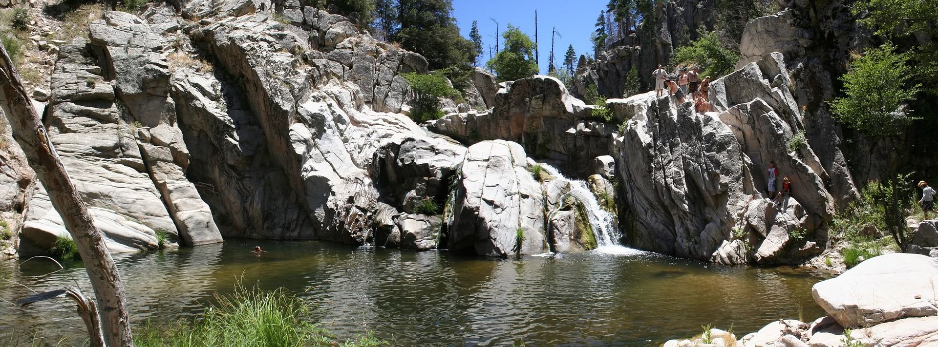
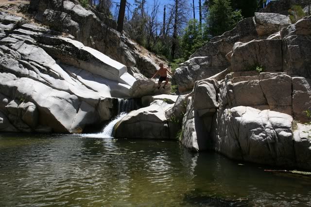
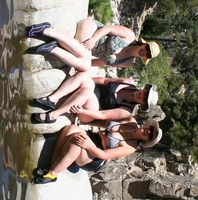
    We will be spending 3-4 hours at the Ole Swimmin Hole. We will have lunch at the Ole Swimmin Hole.

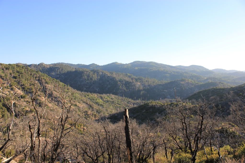
    You need to be in good physical shape to make the hike back out. Bring LOTS of water for the hike out.
    Last edited by FishPOET; 05-17-12, 10:47 AM.
    Over 2500 hours donated to the San Bernardino National Forest. Life member of CA4WD, CORVA & BRC. Tread Lightly Trainer. Reforestation Supervisor. CASSP

  • #2
    This sounds fun. Thanks Doug. I will tentatively say yes.

    Comment


    • #3
      Intrigued, I decided to find the swimming hole. I did, but there must be a better way.

      You'll be hiking into that dark place.


      Its two miles to the fish camp thingy. I couldn't find the hole, so I started leaping from stone to stone down the riverbed. This can't be the best way?


      About to give up, I finally ran across the hole. Its much bigger than the rest of the river would lead you to believe.


      At least I got out before dark.

      Comment


      • #4
        Great pics!

        Doug, we are planning on going but not camping. I'll have a nephew or 3 in tow.
        [COLOR=#ff8c00]MYJEEP(crawls)ROCKS(again).com

        I have finally stopped drinking for good.
        Now I drink for evil..... :devil:
        [/COLOR]

        Comment


        • #5
          Thinking of trying to find this tomorrow with my wife and 5 year old. Other coordinates? I am sure I can find the main Fisherman's Camp Trailhead parking lot N34° 15.690 W117° 06.136. I can park but from there are there coordinates? A numer for you Doug in case i get lost?... PM me. I am sure I will find the number on the net but what is the local rangers number out there so I can call ahead?
          [COLOR="red"]Are you seeing planes? Is your name Tattoo? Because I swear to God, you're living on Fantasy Island[/COLOR]

          Comment


          • #6
            Well we did not find this one spot, partially cause I am a dumb a$$ and did not bring the coordinates to the parking lot. I just typed in the N34 15.103 W117 06.856 and hit the road. I believe it took us to 2N23 after fallowing that for about 3/4’s of a mile we ran into a locked gate that said private property. Looked like it was going to be a 3 mile hike to the destination then we still had to hit the next set of coordinates so we turned back. I did hear some people yelling and doing something fun but I was not sure of what I was getting a 5 year old into. Luckily I always have a plan B. I printed a back-up plan that took us to the right of the Village entrance to Hook Creek Road took that until it became a narrow dirt road (3N34). Found a spot to park and it was probably a ¾ mile hike to the spot we found. I talked to some of the other swimmers and they said the other spot was about a 2 mile hike. So after swimming with the little one for a while we headed back down the hill. Which I swear I saw Doug near the Village on our way back home. All in all a fun 4th trip with most of the family. Now I just have to see if I can break-away on Saturday to do this trip with the MJR folks.

            Anyone know where Aztec Falls are at?

            Along the way


            At the swimming hole we ended up at.


            Last edited by JK08; 07-04-12, 11:11 PM.
            [COLOR="red"]Are you seeing planes? Is your name Tattoo? Because I swear to God, you're living on Fantasy Island[/COLOR]

            Comment


            • #7
              19 of us made the trek down to the Ole Swimmin Hole. A great time was had by all. My pics can be seen here


              Over 2500 hours donated to the San Bernardino National Forest. Life member of CA4WD, CORVA & BRC. Tread Lightly Trainer. Reforestation Supervisor. CASSP

              Comment


              • #8
                What a great place! Pictures just don't capture how beautiful this area is! Here are some of mine:


                We also found the biggest burrito that I have ever seen!:
                [COLOR=#ff8c00]MYJEEP(crawls)ROCKS(again).com

                I have finally stopped drinking for good.
                Now I drink for evil..... :devil:
                [/COLOR]

                Comment


                • #9
                  Looks like an awesome time. Dougs last picture looks like the water crossing is kinda deep! Nice burrito

                  Comment


                  • #10
                    Fishpoet - thanks for the info and coordinates. Thinking about going next week. Will the water level still be up? We have a cabin in Green Valley Lake and are still exploring all the wonders around it.

                    Comment


                    • #11
                      Originally posted by sandjunkie View Post
                      Will the water level still be up?
                      It is spring fed and except for snow melt it is always at the same level.
                      Over 2500 hours donated to the San Bernardino National Forest. Life member of CA4WD, CORVA & BRC. Tread Lightly Trainer. Reforestation Supervisor. CASSP

                      Comment


                      • #12
                        Thanks FishPoet

                        Comment


                        • #13
                          Thanks Again Fishpoet!!! We made it down to the swimming hole on Tuesday. The kids had a blast. They only wished they had brought their poles. The coordinates on your first map were spot on. We even hit a couple geocaches on the way down.

                          Comment

                          Working...
                          X