 Tweet
Tweet
SBNF Motor Vehicle Use Map (MVUM)
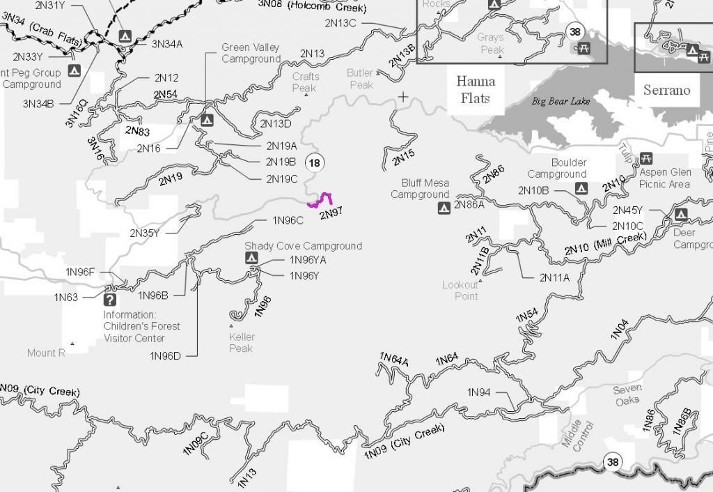
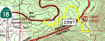
2N97 Camp Creek
Length: 1 mile
Trail rating: Green circle easiest - Street legal vehicles ONLY
Elevation: 6800' to 6950'
Entrance on Highway 18 at N34� 13.422 W117� 01.715
Lat/Lon format is hddd� mm.mmm WGS84 datum
It is always a good idea to call the ranger station before heading in to the forest and get a current conditions report. Big Bear Ranger Station & Discovery Center (909) 382-2790
SBNF Google Earth file