 Tweet
Tweet
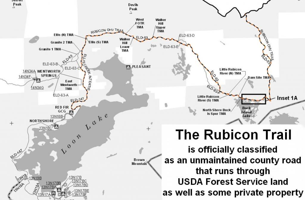
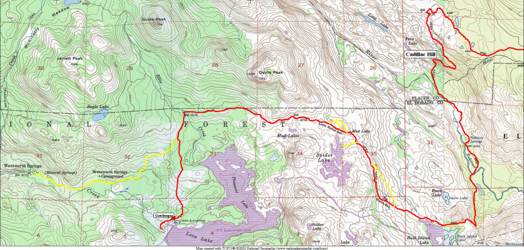
Rubicon Trail Photos
Getting to the trail:
From the West,
Icehouse Rd Turnoff:
N38�46.160, W120�26.850
From the East,
Wright's Lake Turnoff:
N38�47.103, W120�12.836
Icehouse "Resort":
N38�48.896, W120�22.444
Loon Lake Access:
N39�00.201, W120�18.695
Gate Keeper:
N39�00.320, W120�18.554
Spider Lake (Camp):
N39�01.032, W120�16.377
Little Sluice:
N39�01.210, W120�16.460
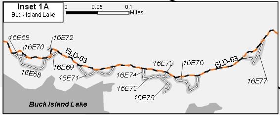
Buck Island Dam:
N39�00.304, W120�15.385
Rubicon Springs (Camp):
N39�01.120, W120�14.780
Cadillac Hill:
N39�01.893, W120�15.143
Observation Point:
N39�02.101, W 120�15.239
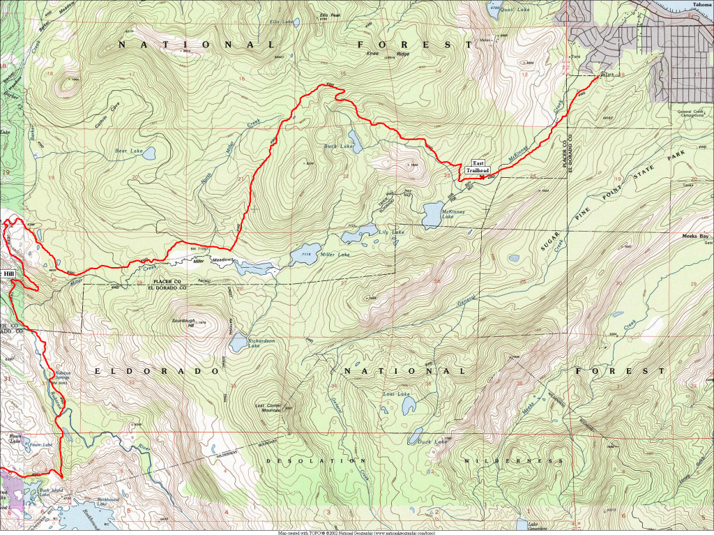
East End Staging Point:
N39�02.745, W120�10.029
Getting to the trail:
From the West,
Icehouse Rd Turnoff:
N38�46.160, W120�26.850
From the East,
Wright's Lake Turnoff:
N38�47.103, W120�12.836
Icehouse "Resort":
N38�48.896, W120�22.444
Loon Lake Access:
N39�00.201, W120�18.695
Gate Keeper:
N39�00.320, W120�18.554
Spider Lake (Camp):
N39�01.032, W120�16.377
Little Sluice:
N39�01.210, W120�16.460
Buck Island Dam:
N39�00.304, W120�15.385
Rubicon Springs (Camp):
N39�01.120, W120�14.780
Cadillac Hill:
N39�01.893, W120�15.143
Observation Point:
N39�02.101, W 120�15.239
East End Staging Point:
N39�02.745, W120�10.029
Comment