 Tweet
Tweet
One of my other groups spent last weekend in San Jacinto. We camped at yellow post sites 4 & 5 on Black Mountain.
YP4&5 can be found approx 1 mile past Black Mountain Group Campground on 4S01 at N33.8376 W116.745333
YP4&5 will easily accomodate 8-10 families.
YP4&5 is one of the nicest places I have ever camped in So. Cal.
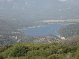
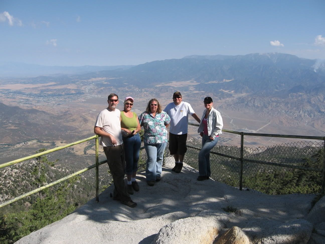
At 7700' the temps were perfect, in the mid 80s during the day and the mid 60's at night. There is plenty of area close to camp to explore and 50' from camp is a viewpoint of the valleys below that in fabulous.
Some of the 4x4 roads in the area to explore are:
3S07
3S08
3S09
4S01 Black Mountain
4S02 Dark Canyon
4S05
4S06 Indian Creek Rd
4S10 East Indian Creek Rd
4S19 Poppet Flat Divide Rd
4S21 Indian Mountain
5S05 Bonita Vista Rd
5S06 Old Control Rd/Toll Rd Canyon
5S07 Bee Canyon
5S09 San Jacinto Ridge Rd
5S10
5S11
5S13
5S15 Rouse Ridge Rd
5S21 May Valley Rd
5S24
6S05 Fobes Ranch Rd
6S09 Gold Hill
6S10 Penrod Canyon
6S11 Garner Ranch Rd
6S13 Thomas Mtn Rd
6S16
6S17 Blackburn Ridge
6S16
6S22 Red Mountain
6S89
7S13 Bull Canyon Rd
Herkey Creek Rd
Apple Canyon Rd
Devils Ladder Rd
Bautista Canyon
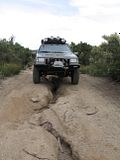
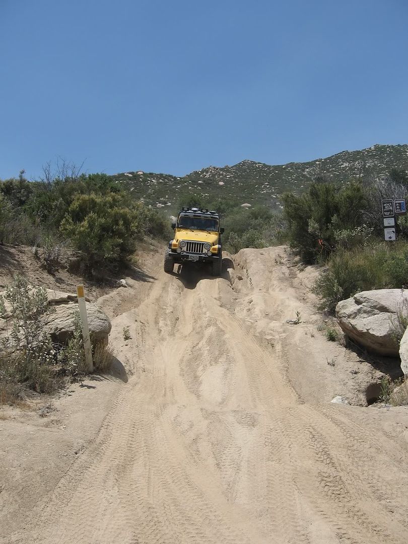
These roads are all easy except for 4S21 Indian Mountain. Going downhill it is a mild blue, going uphill it is a difficult blue. It is very similiar to 2N17X, except much narrower. 4S21 starts on the high side at Hwy 243 at the Indian Vista N33.79700 W116.77794 and on the low side on 5S09 at N33.7676 W116.7894
We ran 4S05 from Hwy 243 to 4S06. It is a green easy dirt road in high chapparal.
We ran 4S06 to 4S10 to 5S09. It is a green easy dirt road in high chapparal.
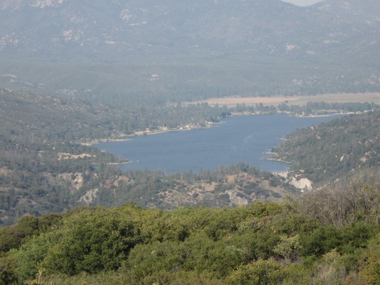
We ran 5S09 from 4S10 to to Hwy 243 in Idyllwild. It is a green easy windy narrow dirt road with some pucker factor if you are afraid of heights. Scenery was high chapparal and grasses early and then just past 4S21 it changed to forest with a great rest stop on the San Jacinto River. There are a couple of yellow post sites between the San Jacinto River and Idyllwild that look to be great places to camp.
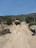
We ran 4S01 Black Mtn Rd from Hwy 243 all the way to Camp Lackey (an abandoned Boy Scout Camp). It is a 12 mile green easy dirt road in the forest. It is a spur (the only exit is back the way you came). Boulder Basin Campground, Black Mountain Group Campground and 6 yellow post sites are available for camping. Boulder Basin and Black Mountain Group have restrooms and water. Sights along the way are Farview Point and Black Mountain Lookout as well as Fuller Ridge trailhead for the Pacific Crest Trail.
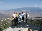
Pic from Farview Point
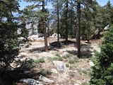
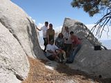
Pic from rock formation near the end of 4S01
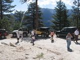
Pic from parking near Black Mountain Lookout
4S02 Dark Canyon dead ends in locked gates at Pine Wood from both entrances.
We ran 6313 Thomas Mtn Rd from Hwy 243 near Lake Hemet to Thomas Mtn Lookout(gone). It is a green easy dirt road in high chapparal and forest.
We ran 6S13 Thomas Mtn Rd from Devils Ladder Rd to 5S15 Rouse Ridge Rd. It is a green easy dirt road in high chapparal and forest. We ran 5S15 Rouse Ridge Rd from 6S13 to the Cranston Fire Station on Hwy 74 near Hemet. It is a green easy dirt road in high chapparal that stays on ridges for over 8 miles. Great views all around.
Although the trails are mostly easy, the scenery is fabulous and we had a great time. Far less crowds than Big Bear and a nice change.
Doug
ps: if I did it right the pics should all be clickable thumbnails that will take you to larger pictures.
YP4&5 can be found approx 1 mile past Black Mountain Group Campground on 4S01 at N33.8376 W116.745333
YP4&5 will easily accomodate 8-10 families.
YP4&5 is one of the nicest places I have ever camped in So. Cal.
At 7700' the temps were perfect, in the mid 80s during the day and the mid 60's at night. There is plenty of area close to camp to explore and 50' from camp is a viewpoint of the valleys below that in fabulous.
Some of the 4x4 roads in the area to explore are:
3S07
3S08
3S09
4S01 Black Mountain
4S02 Dark Canyon
4S05
4S06 Indian Creek Rd
4S10 East Indian Creek Rd
4S19 Poppet Flat Divide Rd
4S21 Indian Mountain
5S05 Bonita Vista Rd
5S06 Old Control Rd/Toll Rd Canyon
5S07 Bee Canyon
5S09 San Jacinto Ridge Rd
5S10
5S11
5S13
5S15 Rouse Ridge Rd
5S21 May Valley Rd
5S24
6S05 Fobes Ranch Rd
6S09 Gold Hill
6S10 Penrod Canyon
6S11 Garner Ranch Rd
6S13 Thomas Mtn Rd
6S16
6S17 Blackburn Ridge
6S16
6S22 Red Mountain
6S89
7S13 Bull Canyon Rd
Herkey Creek Rd
Apple Canyon Rd
Devils Ladder Rd
Bautista Canyon
These roads are all easy except for 4S21 Indian Mountain. Going downhill it is a mild blue, going uphill it is a difficult blue. It is very similiar to 2N17X, except much narrower. 4S21 starts on the high side at Hwy 243 at the Indian Vista N33.79700 W116.77794 and on the low side on 5S09 at N33.7676 W116.7894
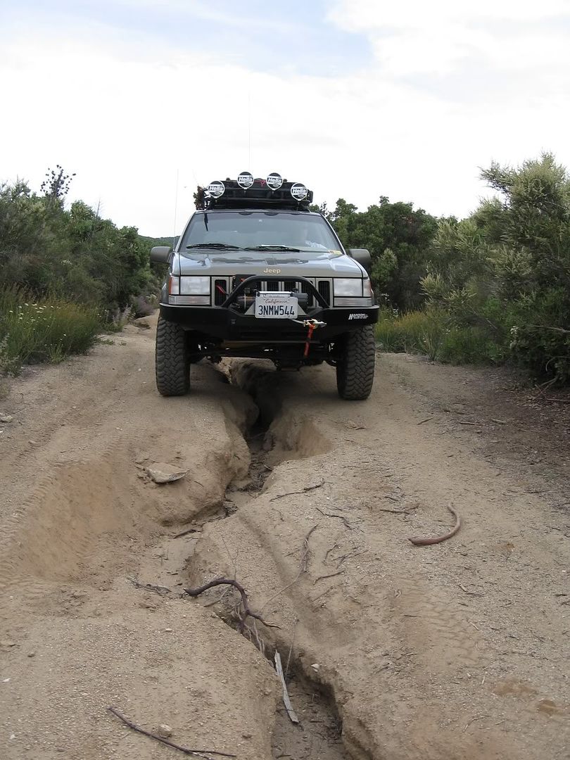
We ran 4S05 from Hwy 243 to 4S06. It is a green easy dirt road in high chapparal.
We ran 4S06 to 4S10 to 5S09. It is a green easy dirt road in high chapparal.
We ran 5S09 from 4S10 to to Hwy 243 in Idyllwild. It is a green easy windy narrow dirt road with some pucker factor if you are afraid of heights. Scenery was high chapparal and grasses early and then just past 4S21 it changed to forest with a great rest stop on the San Jacinto River. There are a couple of yellow post sites between the San Jacinto River and Idyllwild that look to be great places to camp.
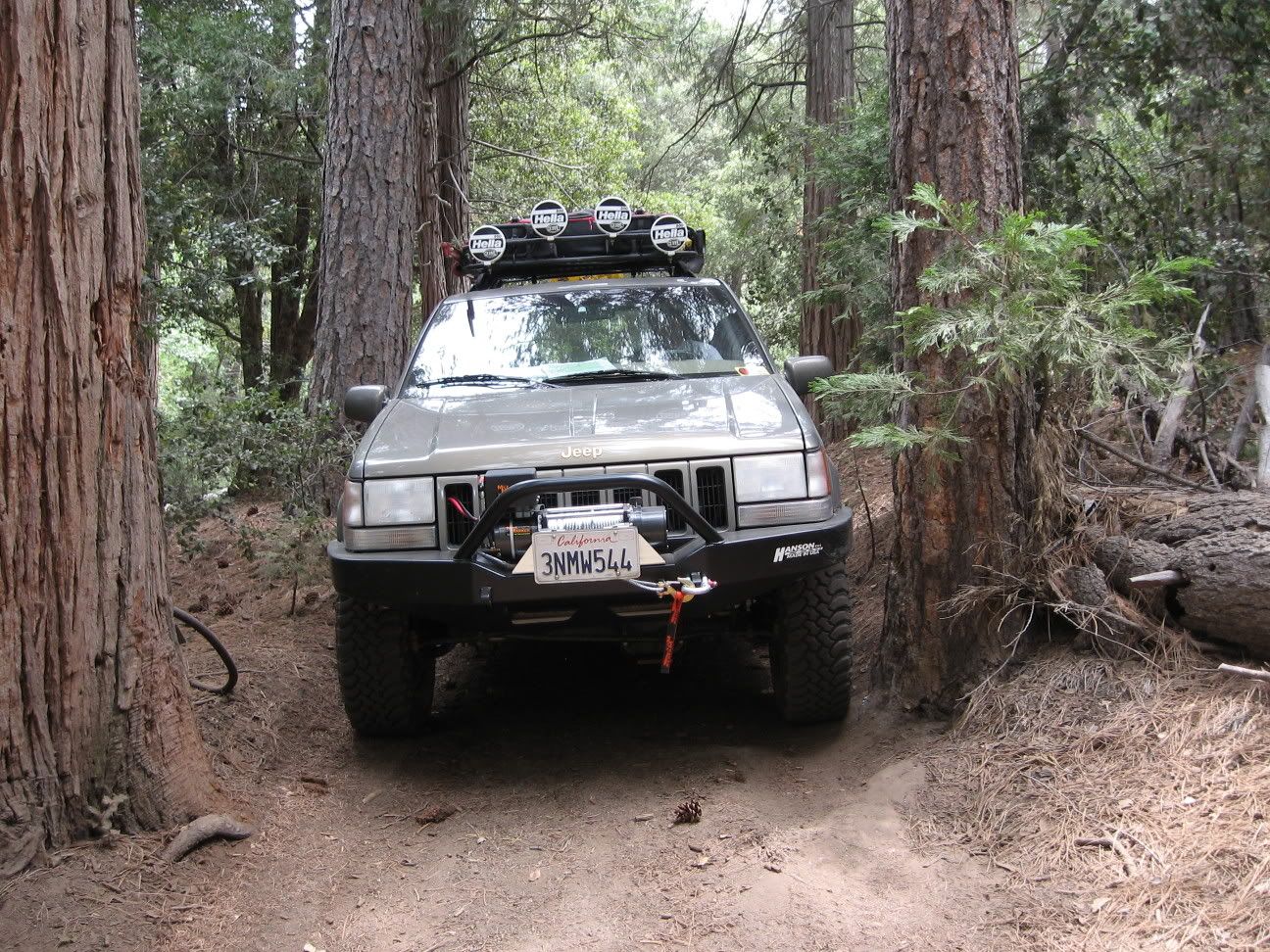
We ran 4S01 Black Mtn Rd from Hwy 243 all the way to Camp Lackey (an abandoned Boy Scout Camp). It is a 12 mile green easy dirt road in the forest. It is a spur (the only exit is back the way you came). Boulder Basin Campground, Black Mountain Group Campground and 6 yellow post sites are available for camping. Boulder Basin and Black Mountain Group have restrooms and water. Sights along the way are Farview Point and Black Mountain Lookout as well as Fuller Ridge trailhead for the Pacific Crest Trail.
Pic from Farview Point
Pic from rock formation near the end of 4S01

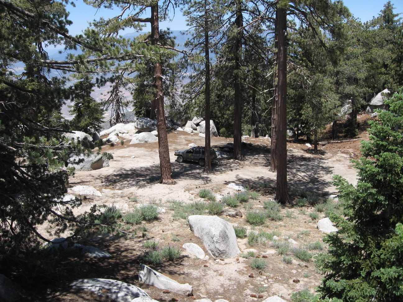
Pic from parking near Black Mountain Lookout

4S02 Dark Canyon dead ends in locked gates at Pine Wood from both entrances.
We ran 6313 Thomas Mtn Rd from Hwy 243 near Lake Hemet to Thomas Mtn Lookout(gone). It is a green easy dirt road in high chapparal and forest.
We ran 6S13 Thomas Mtn Rd from Devils Ladder Rd to 5S15 Rouse Ridge Rd. It is a green easy dirt road in high chapparal and forest. We ran 5S15 Rouse Ridge Rd from 6S13 to the Cranston Fire Station on Hwy 74 near Hemet. It is a green easy dirt road in high chapparal that stays on ridges for over 8 miles. Great views all around.
Although the trails are mostly easy, the scenery is fabulous and we had a great time. Far less crowds than Big Bear and a nice change.
Doug
ps: if I did it right the pics should all be clickable thumbnails that will take you to larger pictures.